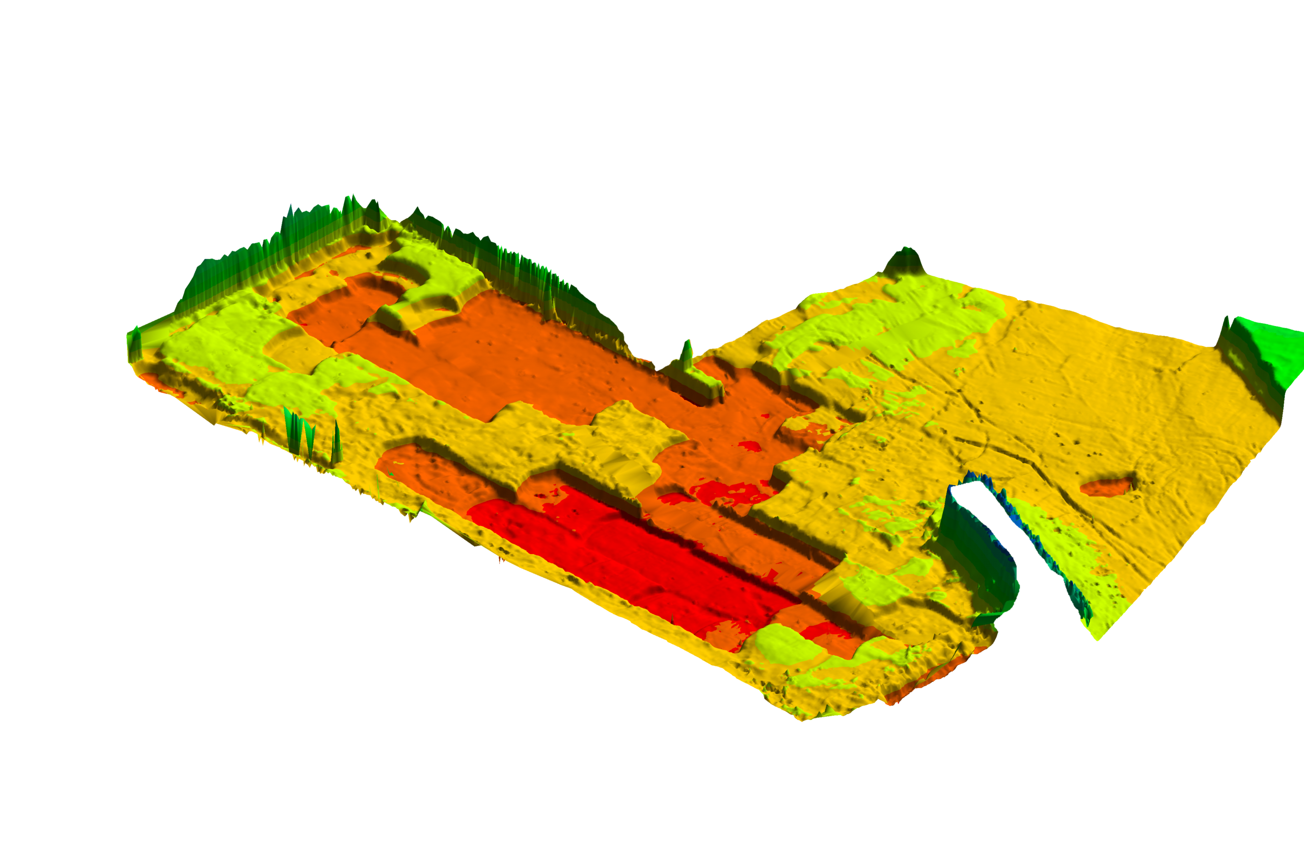
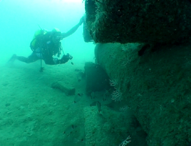
Marine GIS Projects
We integrate and visualize marine environmental data with geographic precision for informed decision-making.
Advanced Mapping, Data Visualization, and Geospatial Intelligence for the Ocean
We create tailor-made solutions using Geographic Information Systems (GIS) to integrate, process, and visualize marine data. Our GIS applications provide you with an essential spatial perspective for planning and managing your projects.